Rural GIS
The Implementation of GIS technology in Rural development will help the government.

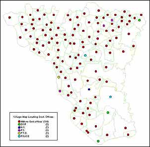
- To provide the planners an accurate spatial view of the district at different levels such as district, block, village level as well as road and rail network, drainage network, e.t.c
- To provide the planners detailed demographic data and education & health related data on desktop in a GIS environment.
- To assists the planners in finding out the possible locations for the schools and health centres depending on several parameters such as for health; population density, number of health centres required and its optimum location, number of disease infected persons etc. and similarly.


