Environment GIS
There is clearly a need for improved information on levels of traffic related air pollution. This information is required for a wide range of purposes:

- To help investigate the relationship involved as inputs to health risk assessment, to assist in establishing and monitoring air quality standards, and to help evaluate and compare transport policies and plans.
- For all these purposes information is required not only on temporal trends in air pollution but also on geographic variations.
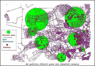
- GIS based vehicular pollution models are needed to identify pollution hot spots, to define at risk groups, to show changes in spatial patterns of pollution resulting from policy or other interventions
- To provide improved estimates of exposure for epidemiological studies.


