Paper to CAD drafting services, Architectural Maps, Mechanical & civil maps, Machine Drawings, Historical Archives, Construction documents

Geographic Information System (GIS)

The best way to demonstrate our expertise is to show you our work. The portfolio will give you an inside look on the ideas and creativity we bring to the projects we develop. Click any of the categories below to explore our Portfolio.

Geographic Information System (GIS)
:: Utility Mapping :: Remote Sensing :: Contour Mapping
:: Parcel Mapping :: City Mapping :: Thematic Mapping
:: Watershed Management :: Statistical Mapping :: Topographic Mapping
:: Digital Terrain Model


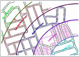
Utility Mapping
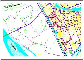
utility
top
Remote Sensing remote-sensing
top
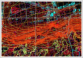
Contour Mapping contour1
top
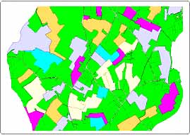
Parcel Mapping parcel
top
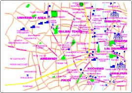
City Mapping citymapping
top
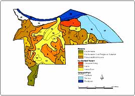
Thematic Mapping thmermatic
top
Watershed Management watershed
top
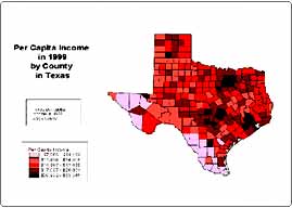
Statistical Mapping statistical
top
Topographic Mapping topographic
top
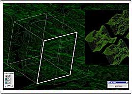
Digital Terrain Model dtm


Have your any question
  • Can I get a free sample & price / time quote?
  • How and when do we communicate?
  • What is the turnaround time?
  • Do you have customer references?
  • Do I pay per hour, per project or per person?
  • How and when do I pay?
We have the answers.
Email at sales@dimensionindia.com